The weather outside is frightful, and getting worse by the minute as the wind and rain become more fierce. I, on the other hand, am inside, safe and dry, biding my time in The Cabin. The accommodations are simple and practical, the food is delicious and filling, much of it fresh from the garden, and the atmosphere is warm and welcoming. While I'm incredibly anxious to start hiking again, it's time to take this opportunity to bring you up to speed on my journey.
The Whites have given way to the Mahoosucs. While the peaks are no longer quite as high, the treks to the summits are just as rocky and steep, remaining slick and treacherous. The going is slow in order for the walking to be done with any amount of precaution, and even so the trail finds ways to bite, be it a slippery root, a mossy rock, or a patch of loose soil.
Still, the relative danger on the trail is not the most notable aspect of the Mahoosucs. For me and eleven others, this week on the trail was shaped more by those with whom I was walking. For the past week I have been joined by a group of Calvin students who are participating in a wilderness orientation trip, sharing with them my AT experience. As incoming first-year students to Calvin, this trip provides a way for these students to establish a community before setting foot on campus, as well as a forum to talk about transitional issues involved in coming to college. The outdoors piece is important because it provides a memorable classroom that fosters relationship growth and facilitates deep learning. As comfort zones are challenged, the support of a community becomes more important and new ideas become more accessible. A surprising amount of growth can occur in only a week's time in the wilderness.
So I have been joined by nine incoming students plus two additional trip leaders, who happen to both be good friends of mine. This has meant that for a week things have looked different from my normal routine: the miles have been less but the community of people has been stronger. The focus has not been on how far we've gone in a day but on the conversations that were shared and the trust that was built along the way.
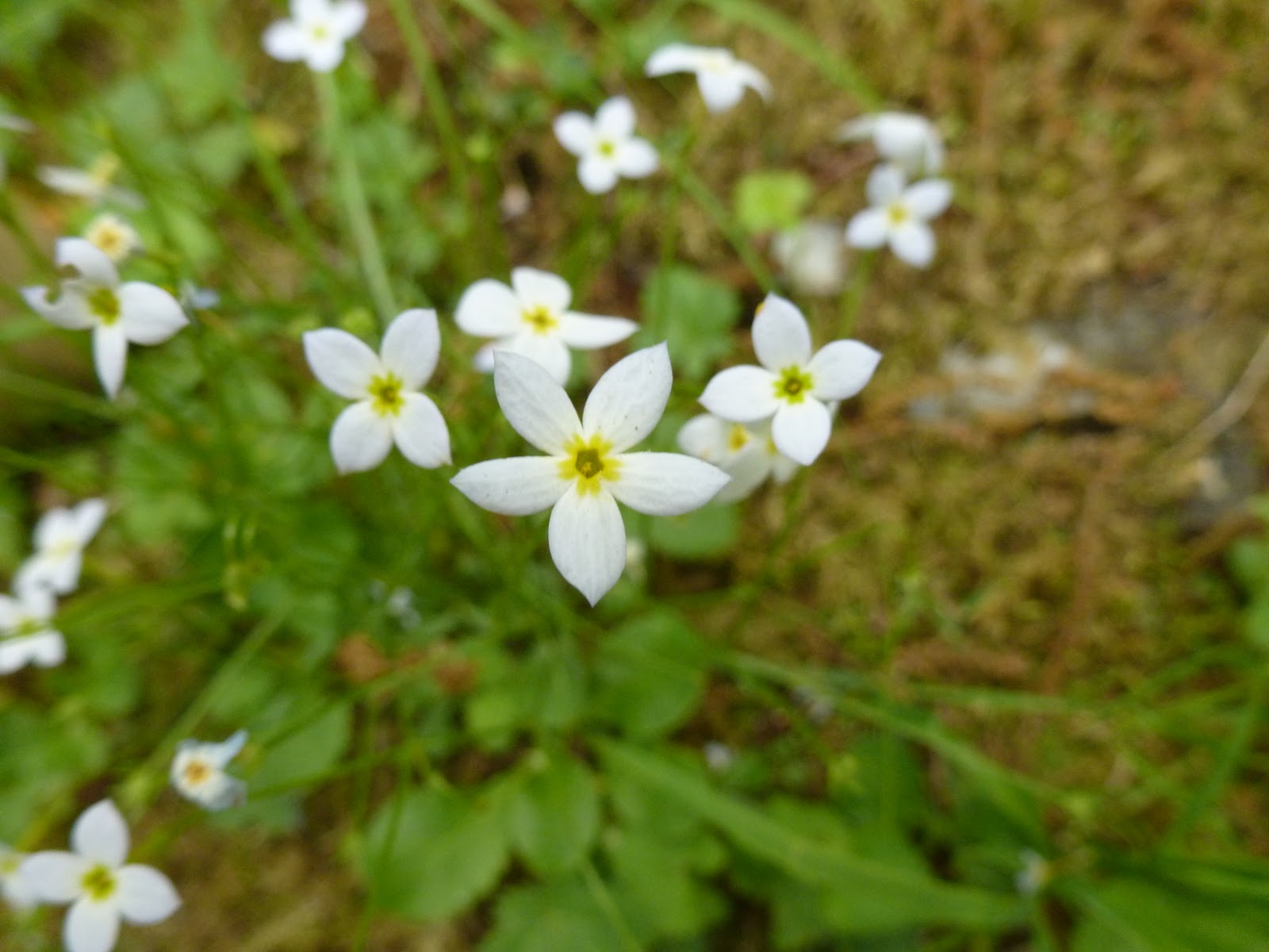
Even though our days were kept to about five miles of trail, the challenges were still immense. Some of the participants were entirely new to hiking, which meant that the steep climbs and poor footing were a significant hurdle that required daily perseverance to overcome. Mahoosuc Notch, known as the longest mile on the AT, exemplified both this struggle and its defeat. The notch is 0.9 miles of intense scrambling over, under, and through boulders that have fallen and piled over time, some as big as houses. Because of its characteristics this narrow notch has become legendary as it not only holds an assortment of boulders but also a unique environment. Flowers that have long since displayed fruit elsewhere on the trail were still in bloom; ice was preserved in the deep crevasses between the rocks; moss and fungi were abundant and thriving; and of course the trail itself was winding and memorable.
As the group navigated from boulder to boulder, jumped over deep gaps, crawled through narrow cave-like tunnels, slid down long slabs, and extended hands and words of encouragement to one another, what was most remarkable to me was that in the very heart of the most difficult section of trail, confidence was born. The students became more sure-footed and less anxious about the scrambling. In fact, some of the most fearful of the group walked away from the experience saying, "That was fun!" It marked a turning point in the trip, and for that I was thankful.
I was also thankful to be with friends. As the trail has seemingly always held more miles for me to walk and grown more mentally challenging as the days have ticked by, the presence of friends was encouraging. Their support and affirmation was life giving, and their presence cherished. As I look ahead to the final two weeks, I know that the love they have given to me will help carry me through the final miles.
And with that, I once again look outside into the rain and wind eager to take some of my final steps on the trail. More than anything, I am ready to be home with friends and family, no longer with just me, myself, and Irene.


 In fact, this week held what was arguably the best day on the trail for me. The morning started with a climb up to Horns Pond, tucked at the base of Bigelow Mountain, where I enjoyed overlooking its clear water dotted with lily pads. Off to the west clouds hovered below me in the nearby valley. In a certain manner, I felt as though I was on top of the world as I looked down upon the beauty below me.


 After sipping my morning coffee I scurried down the trail toward the Kennebec River. At nearly 70 yards wide, the river was massive. In addition, an upstream dam was known to raise the water level by as much as three feet without warning, generating a dangerous ford situation with unpredictable current. Well aware of the danger, the official AT route is to cross the Kennebec using the contracted ferry service. Of course, the term "ferry" is used loosely as it really is just the Ferry Man paddling a canoe. In fact, this is the last human-powered ferry service operating in the United States. To make sure that hikers didn't get overly worked up about the situation, there was a white blaze painted on the bottom of the canoe -- the most photographed white blaze of the entire trail.